基本情報
出展製品・サービス
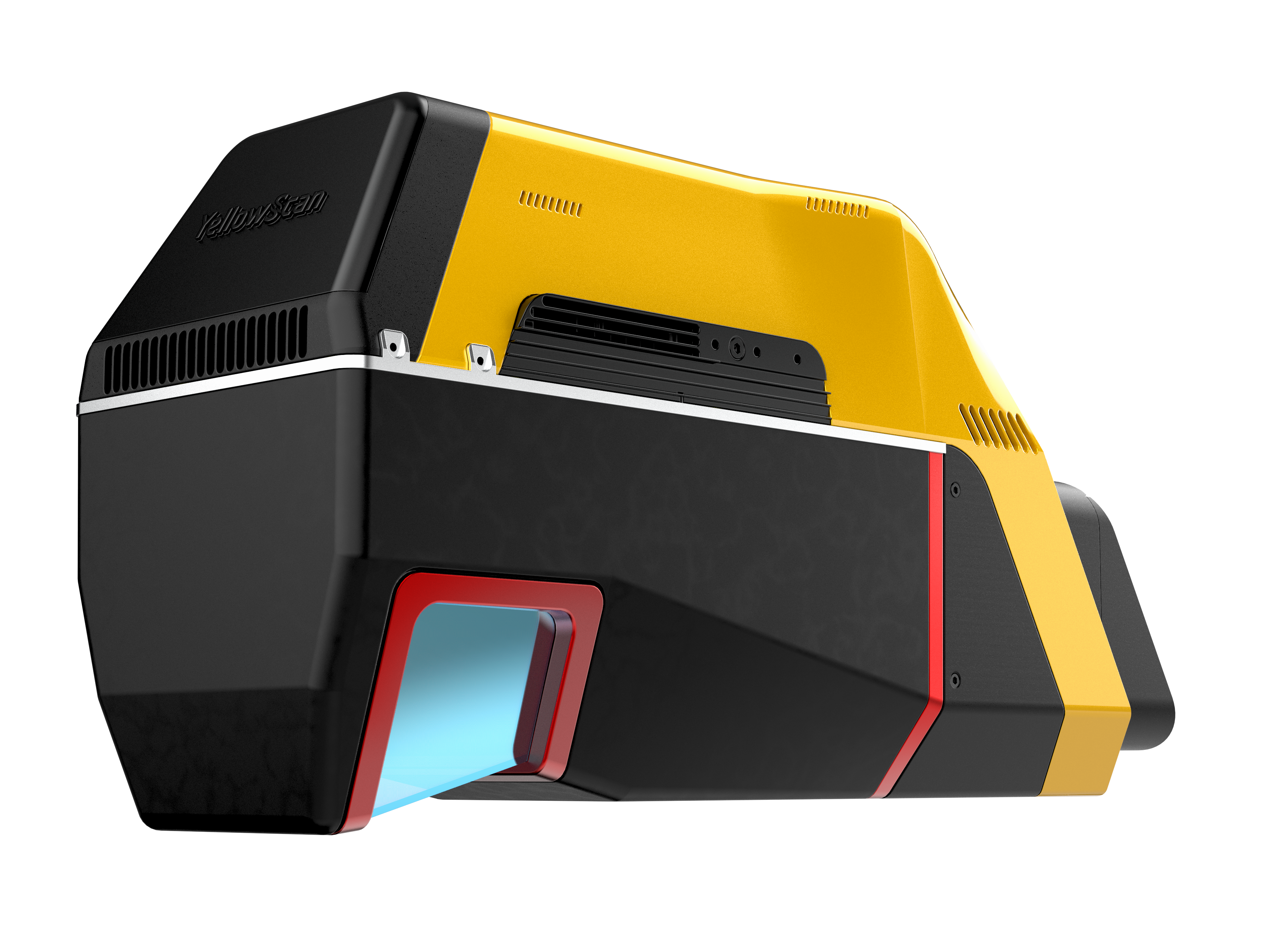
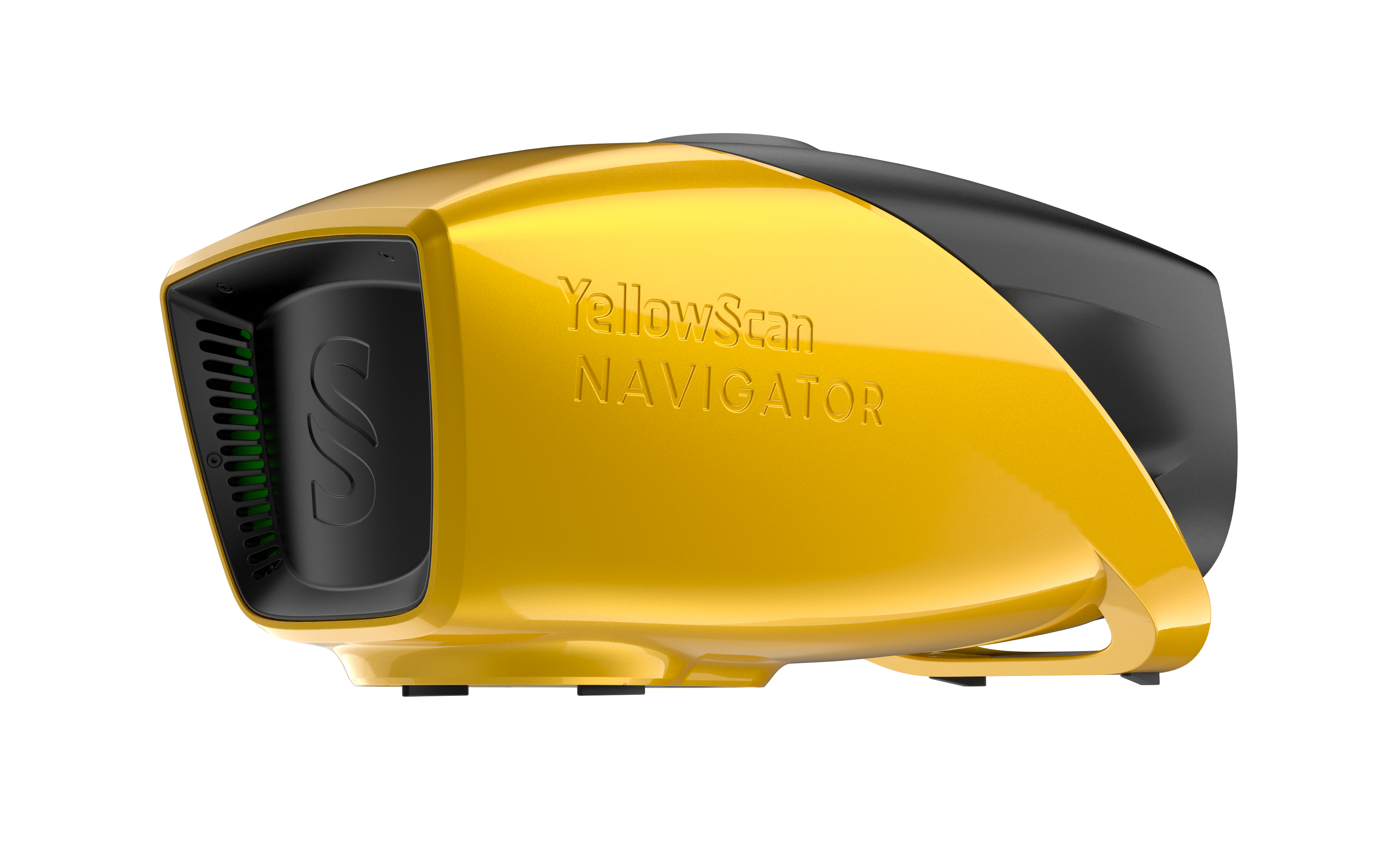
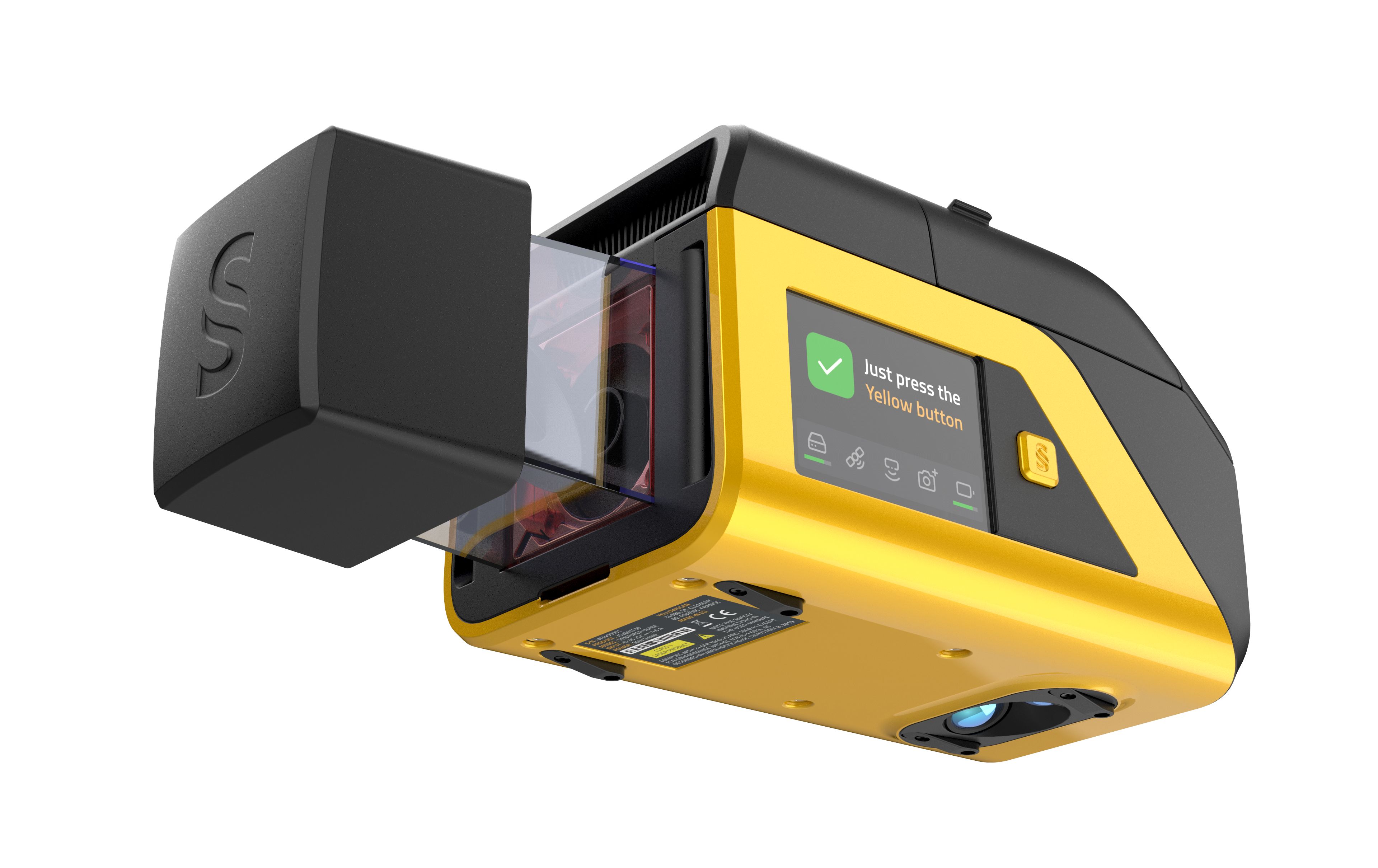
ナビゲーター
Navigator
YellowScan Navigatorは、ボタン一つで水面と水中の地形をマッピングする革新的な水中測量LiDARシステムです。
コンパクトなデザインで、水部の透過性を損なうことなく、様々なUAVプラットフォームでの操作を可能にします。
陸部と水底の地形データを同時に取得することにより、海岸線、河川や池など簡単に調査できます。
朝潮での水深測定を行うために設計されており、UAVに簡単かつ迅速に搭載可能です。このフルウェーブフォームLiDARシステムは、水中点群と周囲の地形との連続性を確保します。
Depths to heights: operating
bathymetric LiDAR with one button.
The YellowScan bathymetric LiDAR is an
innovative solution for exploring underwater
and ground topography with a single-button
operation.
Its lightweight design allows for versatile
platform selection without compromising
water penetration.
ベンチャラー
Venturer
重要な計測現場で確かな信頼
YellowScan Venturerは、限られた機会で特に
ミスが許されない測量・政府ミッション向けに
設計された、NDAA準拠の測量グレードLiDAR
システムであり、確実な計測を可能にします。
離陸の瞬間から信頼できる成果をもたらし、
専用ソフトウェアCloudStationによるローカル
環境で一貫したデータ処理を実現します。
Confidence when it matters
most
Built for survey and government missions
where there is no second chance to fly, the
YellowScan Venturer is an NDAA-compliant,
survey-grade LiDAR system designed to
remove uncertainty in the field.
It gives teams confidence at takeoff, reliable
results and full control over locally processed
data through our dedicated CloudStation
software
Voyager
ボヤージャー
YellowScan Voyagerでさらに多く、広く、現場飛行を完了させましょう。
Voyagerの100°のFOVレーザースキャナーと、最大2400khzの非常に高速なデータ取得率は、最高級の精度と精密さを維持しながら、密度と品質の両方が求められるプロジェクトに最適なソリューションです。
Precision meets reality.
Complete more mission profiles with the
YellowScan Voyager.
The Voyager’s 100° FOV laser scanner and
its extremely fast data acquisition rate of up
to 2400 kHz while keeping top-of-the-line
precision and accuracy makes this solution
the best option for projects requiring both
high density and quality.