基本情報
出展製品・サービス
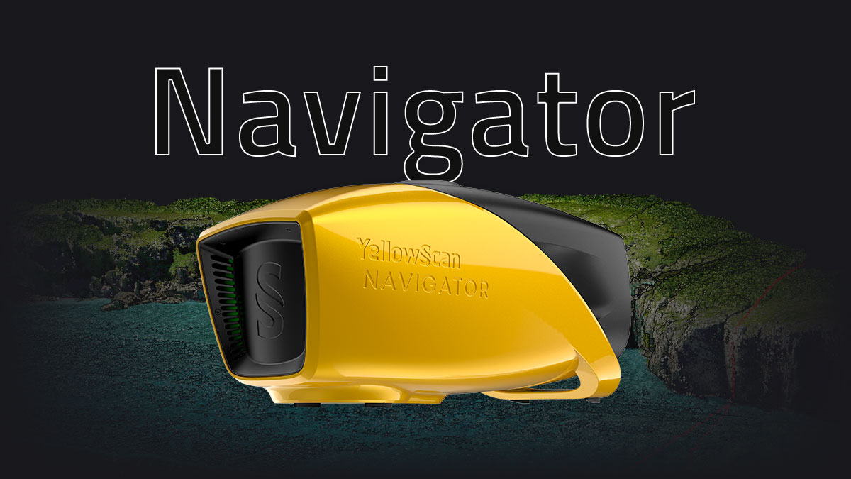
Navigator
Navigator
-水深用UAVグリーンレーザーシステム-
YellowScan Navigatorは、一つのボタン操作で水面と水中の地形をマッピグする革新的な水中測量LiDARシステムです。
このコンパクトなデザインは、水部の透過性を損なうことなく様々なUAVプラットフォームでの操作を可能にします。陸部と水底の地形データを同時に取得することにより、海岸線、河川や池など簡単に調査できます。
-Bathymetric & topographic LiDAR solution for UAVs-
YellowScan Navigator is an innovative bathymetric LiDAR solution for mapping water surface and underwater topography with a single-button operation.
Its compact design allows for operating on various UAV platforms without compromising water penetration. Survey shorelines, rivers or ponds with ease, by getting simultaneous land and underwater topography.

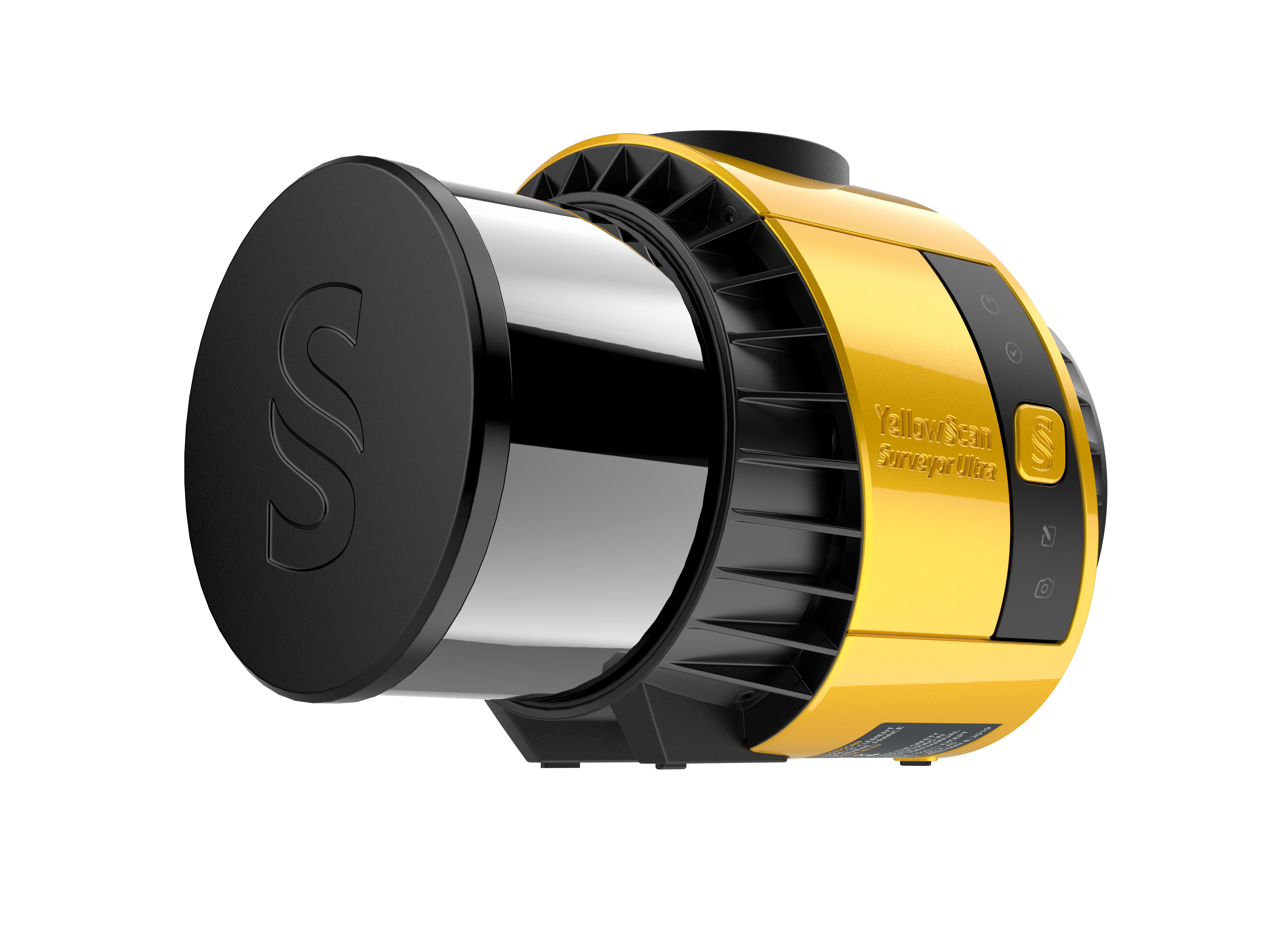
Surveyor Ultra 3.0
Surveyor Ultra 3.0
-軽量で360度回転のUAV搭載型レーザーシステム-
YellowScan Surveyor Ultraは SBG SystemのIMU を統合し、点群カラー化のためのRGBカメラを組み合わせた新世代のYellowScan LiDAR システムです。
軽量かつ高密度計測で柔軟性があり、あらゆる現場に活用できます。
-Lightweight 360-degree LiDAR system for UAV integration-
The YellowScan Surveyor Ultra marks a new generation of YellowScan LiDAR systems integrating SBG Systems’ IMU, combined with an integrated RGB camera for colorization purposes.
Combining light weight and high density, its flexiblity makes a great addition anywhere.

Explorer 2.0
Explorer 2.0
-長距離、360度プラットフォームレーザーソリューション-
YellowScan Explorerは軽量かつパワフルな長距離レーザースキャナーを搭載、あらゆるUAVプラットフォームに取り付けできます。有人航空機による計測もでき、高い生産性を発揮します。
幅広いプロジェクトに対応できる多様性による、YellowScan UAV LiDARソリューションズの使いやすさを体験ください。
-Long-range, multi-platform 360-degree LiDAR solution-
The YellowScan Explorer is equipped with a lightweight and powerful long-range laser scanner that can be mounted on various UAVs. It is also capable of surveying from manned aircraft, resulting in higher productivity.
This versality allows users to tackle a wide range of projects with the proven ease-of-use of YellowScan’s UAV LiDAR solutions.
