基本情報
出展製品・サービス
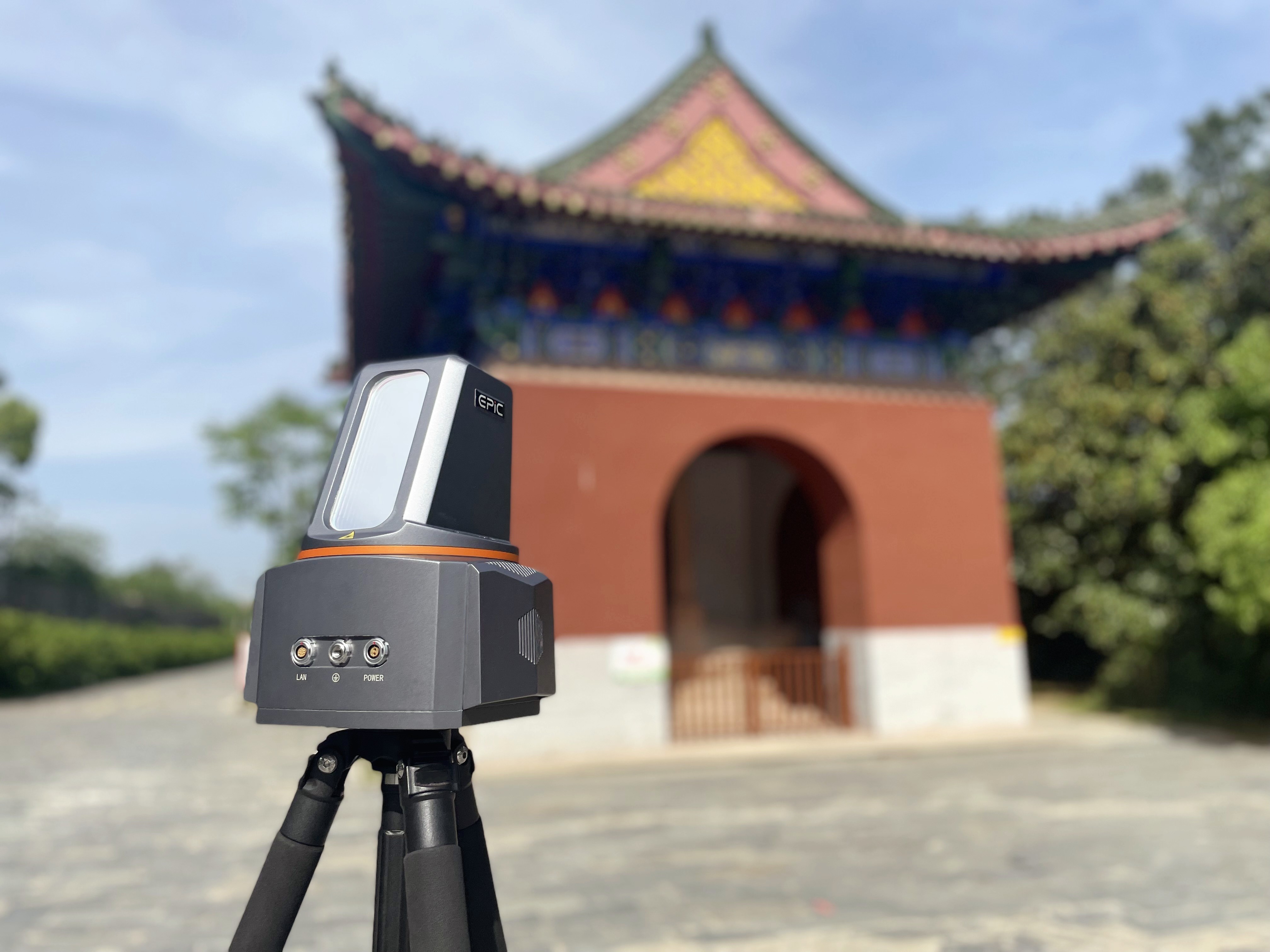
Long Range Terrestrial 3D Laser Scanner T1000
Long Range Terrestrial 3D Laser Scanner T1000
T1000 long range 3D laser scanner is designed and developed independently. The system is compact and portable, which can collect the 3D data of the ground in a wider range quickly, to ensure the high quality point cloud collection even in complex and challenging environments.
T1000 long range 3D laser scanner is designed and developed independently. The system is compact and portable, which can collect the 3D data of the ground in a wider range quickly, to ensure the high quality point cloud collection even in complex and challenging environments.

UAV LiDAR W30
UAV LiDAR W30
With the design concept of compact integration, W30 highly integtates multiple sensors such as laser sensor, GNSS, high-precision IMU, professional metric camera, etc., which can be seamless compatible with DJI M300 RTK or M350 RTK with integrated control unit from DJI.
The system brings customers a simple aerial survey experience with fully detailed 3D terrain data.

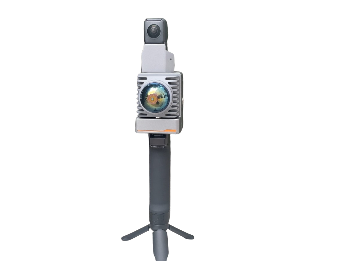
Handheld SLAM M05
Handheld SLAM M05
M05 adopts a more lightweight and compact industrial design, featuring a brand new hemispherical scanning mode, devoid of a single cable. Its powerful SLAM algorithm makes data collection more effortless and reliable for operators, acquiring point cloud, image, and
GNSS data in one go, catering to the application scenario demands of diverse customer groups.
