基本情報
出展製品・サービス
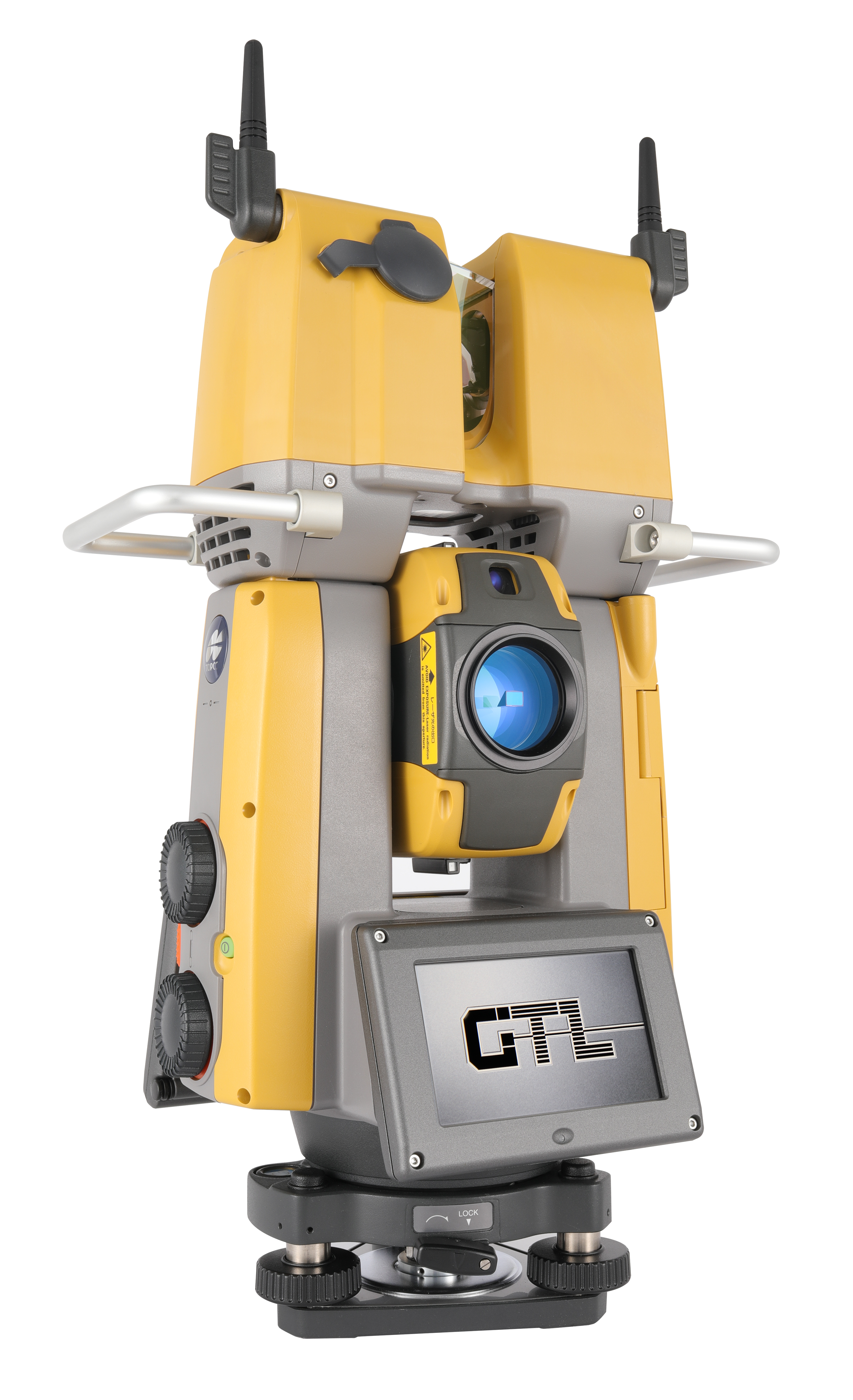
GTL-1200
GTL-1200
自動追尾トータルステーションと回転式レーザースキャナーが合体!1台2役だから測量・計測が速く、投資コストに加え、作業フローが大きく改善されることで、多くのメリットを享受できます。
Drastic reduction of the investment cost, the working hours and the number of workers!
Robotic total station and full dome laser scanner integrated into GTL-1200! In addition to the investment cost, GTL-1200 improves the workflows. It gives you more benefits.

杭ナビファミリー
Kuinavi family
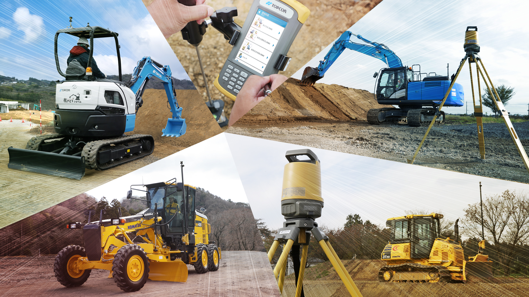
『杭ナビ』で建機を制御、手軽に生産性20%向上。
『杭ナビショベル』の簡単さはそのままに、更なるグレードアップ!さまざまな建機の操作をアシストして、高精度な施工を可能にしました。建設現場で広く普及している杭ナビの活用で、マシンコントロール施工がより身近に、そして簡単に始められます。杭ナビは、あらゆる現場のニーズへ柔軟に対応し、今まで以上に業務の生産性向上を推進します。
Layout Navigator "Kuinavi Shovel" has been further upgraded while maintaining its simplicity! The new system assists in the operation of various construction machinery to enable highly accurate construction work. Kuinavi Shovel, which is widely used in construction sites, makes machine control construction more accessible and easier to start. Kuinavi Shovel deals flexibly with all the needs on site and facilitates the improvement of productivity more than ever before.

ランドスクリーニング ー地表面変位サービスー
Land Displacement Monitoring
SAR衛星は自らが雲を透過する波長の電波を照射し、地上からの反射波を観測するため、天候や時間帯に依存せずいつでもデータ取得が可能です。SARデータを活用したサービスが”Land Displacement Monitoring(LDM)”です。広域の地盤変動を解析し、その結果を提供します。独自のInSAR*解析技術により広域な地表面の変動量をmm単位で検出し時系列で表示します。地球上の任意の箇所に対してモニタリングを行い、地盤リスクや変動を広域・面的に理解することが可能です。道路や鉄道工事における地盤沈下や陥没、隆起、地すべりの兆候把握、公共施設や防災施設管理などへの活用が可能です。
Land Displacement Monitoring (LDM) solution can analyze wide-area ground displacement using SAR satellite data. Using proprietary Interferometric SAR (InSAR) analysis technology, the LDM solution can detect and track historical changes and find patterns with millimeter-scale precision using a cloud-based data platform.
